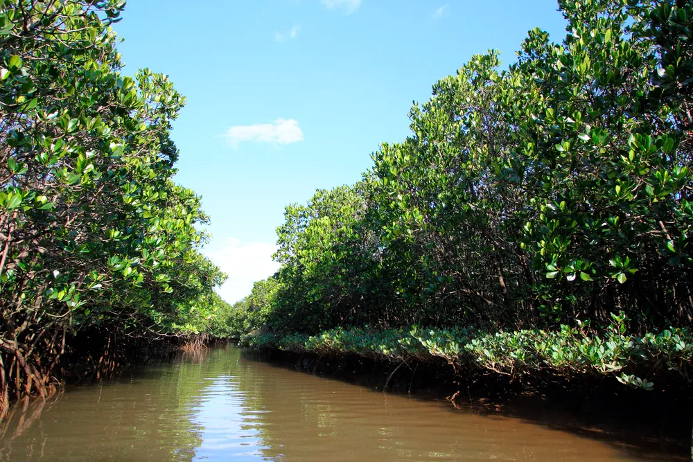

This is a park where you can easily enjoy the natural beauty of the mangroves.
(Day 3: Circumnavigating the Main Island) Discover Okinawa's New Charms Along the East Coast
Intermediate
- Distance
- 108.67 km
- Elevation gain
- 1,120m
- START
- Higashi Mura Hira
- GOAL
- Lawson Prefectural Sports Park Front Store
- Course Data QR Code
- Google Maps
 Ride with GPS
- Access to the starting point
- 1 hour and 45 minutes from Naha Airport
Course Map
-
 Viewpoint
 - Gourmet
- Restroom
- Sightseeing & Experience Spots
- Bicycle Shop
Ride with GPS
Related Courses
entire main island
Intermediate
(Day 1: Circumnavigating the Main Island) A Journey Along the West Coast Resorts
- Distance
- 105.50 km
- Elevation gain
- 735m
- START
- Okinawa Prefectural Government Building
- GOAL
- Hashizume Park
Main Island Northern Region
Intermediate
(Day 2: Circumnavigating the Main Island) A Journey to Immerse Yourself in Yanbaru's Great Nature
- Distance
- 108.81 km
- Elevation gain
- 1,640m
- START
- Kouri Island
- GOAL
- Higashi Mura Hira
Main Island Central Southern
Intermediate
(Day 4: Circumnavigating the Main Island) A Journey Through Sacred Sites & Battlefields Associated with the Ryukyu Kingdom
- Distance
- 69.84 km
- Elevation gain
- 598m
- START
- Lawson Prefectural Sports Park Front Store
- GOAL
- Okinawa Prefectural Government Building
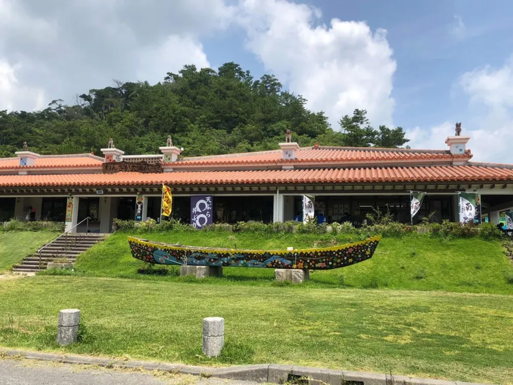
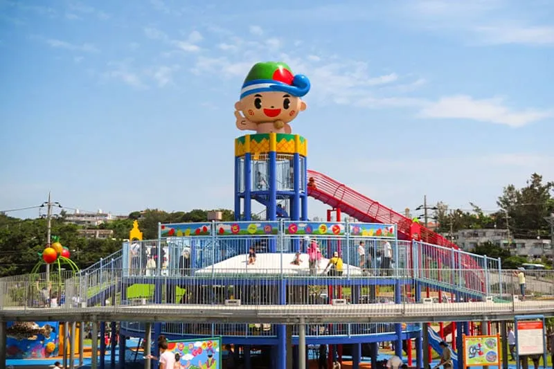
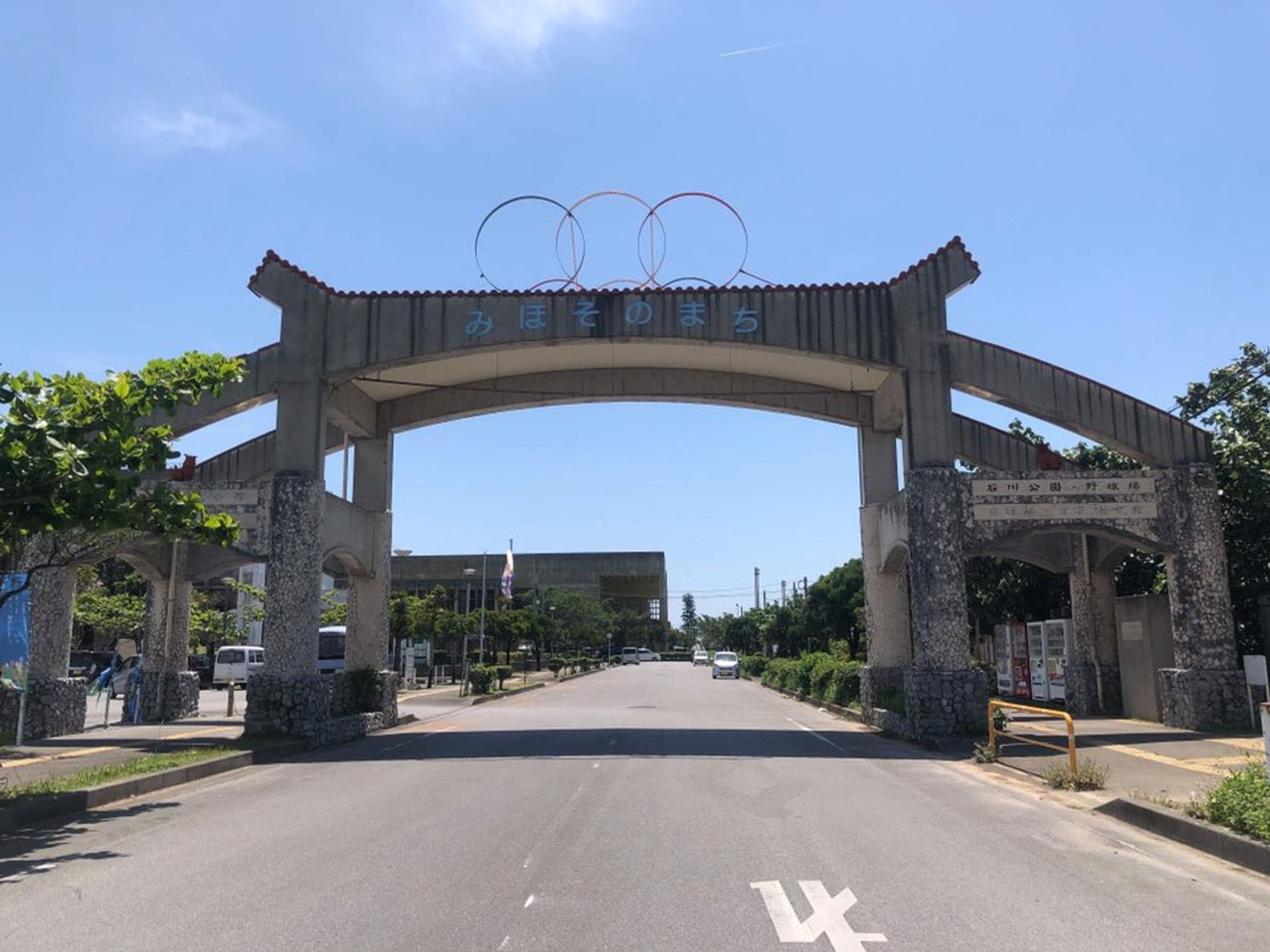
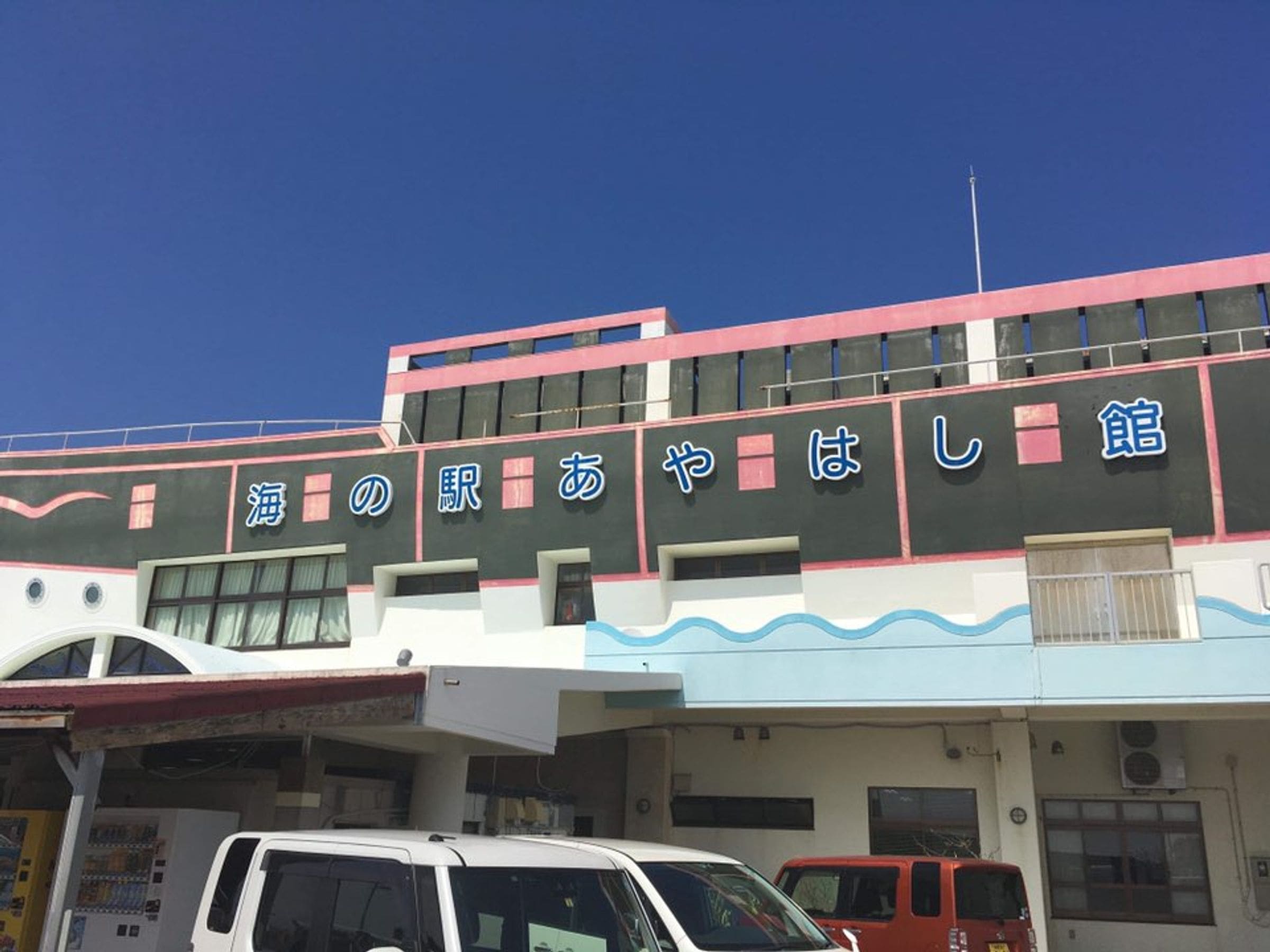
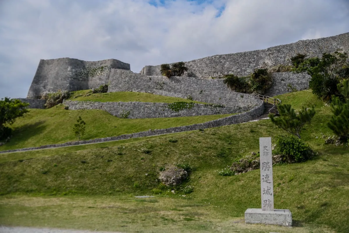
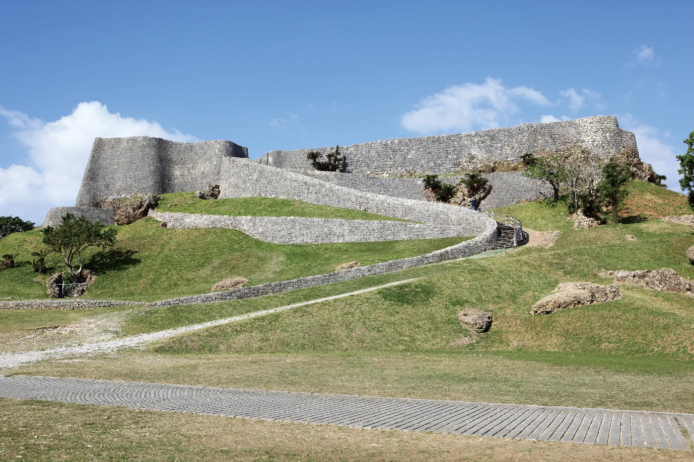
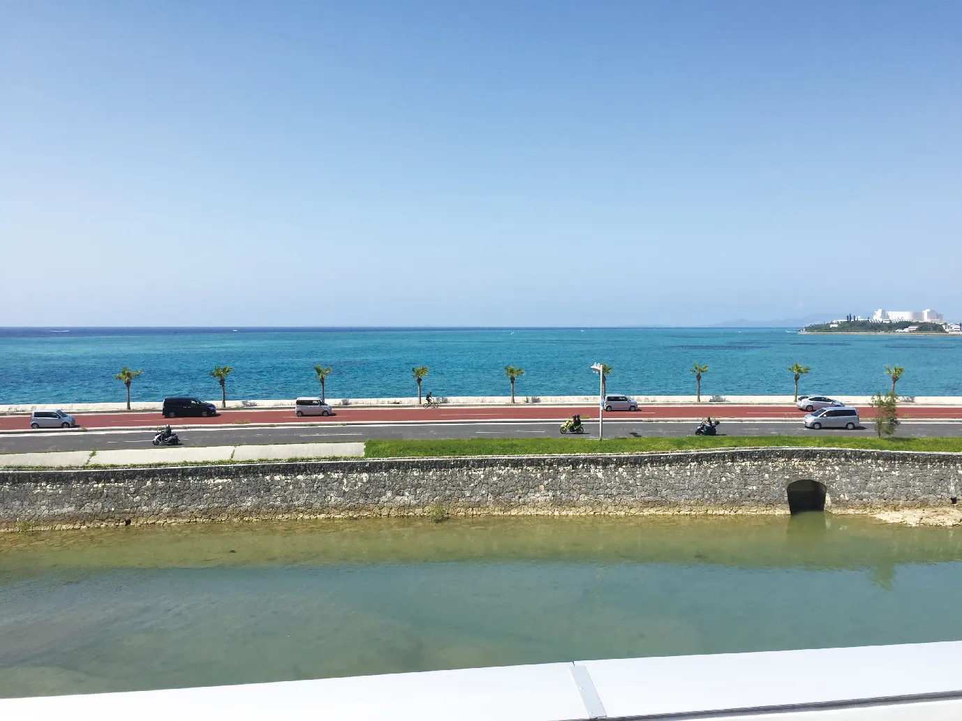
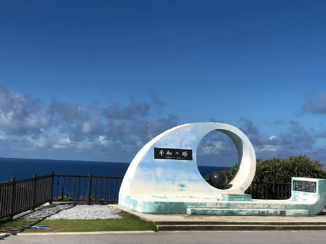
Nearby Attractions